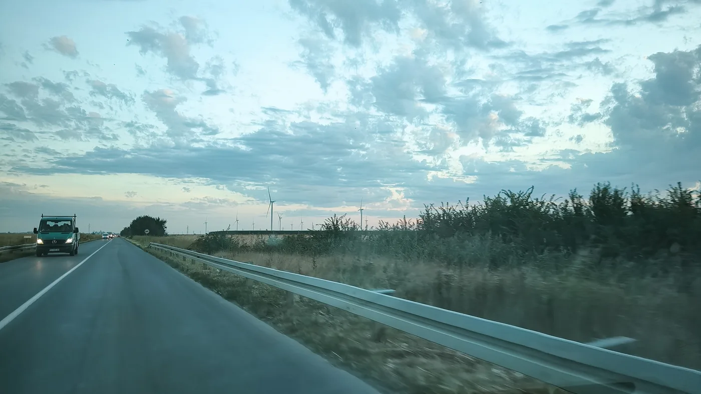
The route we drove
North through the Banat on local roads, across the border into Hungary at Rabe–Kubekhaza, then back into Serbia before continuing through Senta and returning to Pancevo, all in one day. Local roads instead of the motorway, partly to film the route. The Hungarian stretch was filmed but has no photo stop, so it has no marker on the map, and the crossing back into Serbia, at the same Rabe–Kubekhaza crossing around 10:43, is not on camera but shows in my phone’s location history.
Reconstructed itinerary, not a recorded GPS track. Each marker is where a photo was taken, rounded to about a kilometre; the dashed line only joins them in time order and does not follow the road. Hollow markers are approximate phone-network positions. Click a marker for the photo.
- 05:56Left Pancevo
- 06:18Local road past the wind farms near Crepaja
- 08:54The far north, near Majdan
- 08:59Across the border into Hungary at Rabe–Kubekhaza
- 09:04First kilometres in Hungary
- 10:43Back into Serbia at Rabe–Kubekhaza
- 11:12Near Kanjiza
- 11:42Senta, on the Tisa
- 13:51Snacks and water in Kovacica, on the way back
- 14:20Back in Pancevo
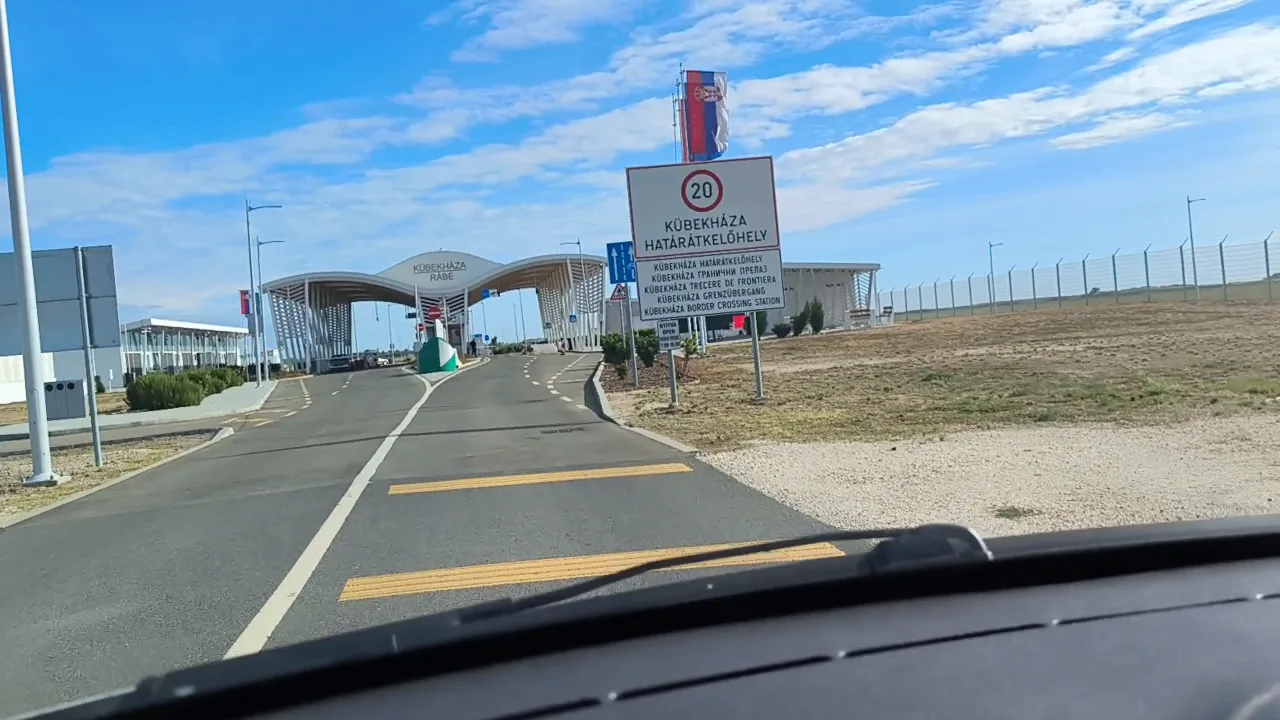
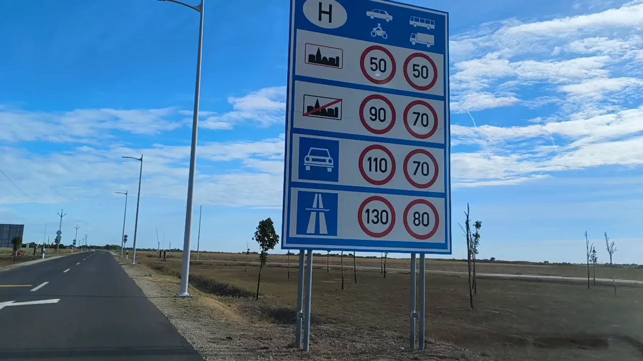
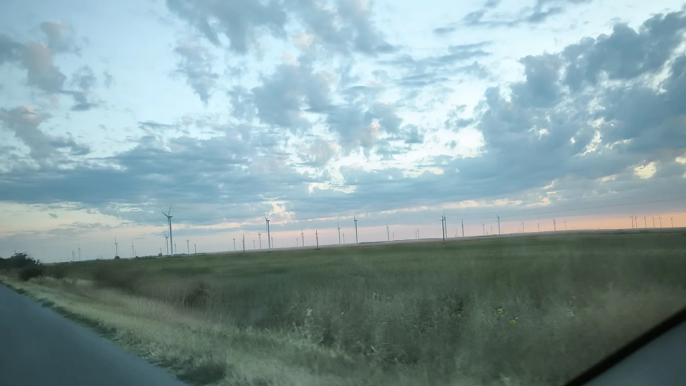
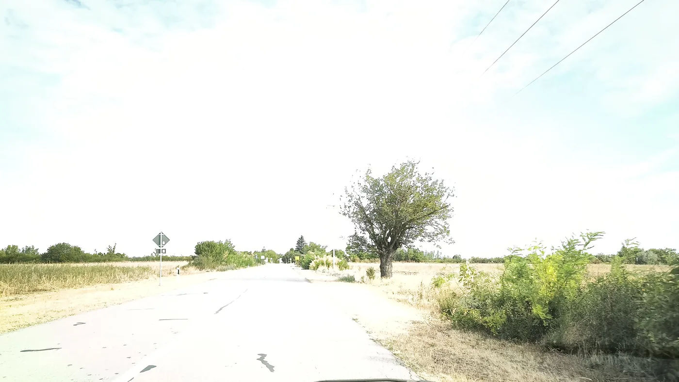
Left: wind turbines across the Banat plain, seconds after the first photo. Right: patched tarmac near Majdan.
What it cost
| Item | Cost |
|---|---|
| Food — snacks and water, Kovacica | €6.83 |
| Tolls | €0 — local roads only |
| Fuel | Not recorded for this day |
| Known total | €6.83 + fuel |